Product Search
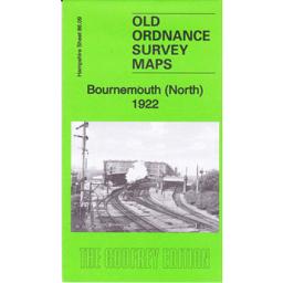
Bournemouth North 1922
Covers the residential areas of Central Bournemouth. The Kelly’s extract 0f 1923 covers private residents.
Supplied by: Hampshire Genealogical Society Product Ref: HAM-13966714
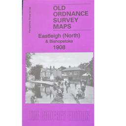
Eastleigh (North) & Bishopstoke 1908
As well as the map there is a local history written by Alan Godfrey and extracts from Kelly's Directory for Hampshire, 1899.
Supplied by: Hampshire Genealogical Society Product Ref: HAM-13966826
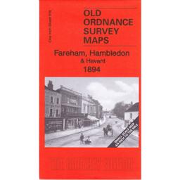
Fareham Hambledon & Havant 1894
This map covers Fareham, Hambledon and the Havant and the area to the north towards Petersfield and Alton. The back has a street map of Hambledon and the history of the area written by Barrie Tinder.
Supplied by: Hampshire Genealogical Society Product Ref: HAM-13966790
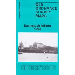
Portsmouth (Eastney and Milton) 1896
The map covers the areas of Milton, Eastney, Buckland and Kingston wards. A history of the area by Peter Rogers is included.
Supplied by: Hampshire Genealogical Society Product Ref: HAM-13966727
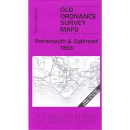
Portsmouth & Spithead 1893
This map covers the famous RN anchorage of Spithead, and the coastal areas of Hayling Island, Portsmouth and Gosport and the Eastern side of the Isle of Wight. The reverse has a street map of Lee-on-Solent And a history of the areas covered by Richard Oliver
Supplied by: Hampshire Genealogical Society Product Ref: HAM-13966791
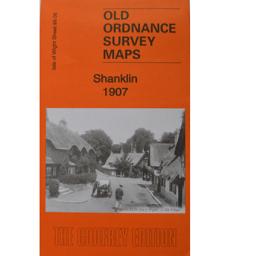
Shanklin 1907
As well as the map there is a local history written by Alan Godfrey and details of businesses, services and private residents recorded in the Kelly's Directory for Hampshire, 1899.
Supplied by: Hampshire Genealogical Society Product Ref: HAM-13966842
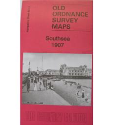
Southsea 1907
Includes a local history by Alan Godfrey.
Supplied by: Hampshire Genealogical Society Product Ref: HAM-13966815
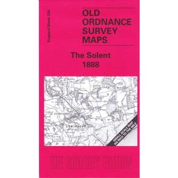
The Solent 1888
The map shows Southampton water, with the Western side of the Isle of Wight, the New Forest and Lymington, Beaulieu and Fawley and Brockenhurst to the north. A street map of Beaulieu is on the reverse with Kelly’s directory 1899 extracts of Beaulieu with some private residents as well as the commercial entries. A history of the area of the map is by Jude James.
Supplied by: Hampshire Genealogical Society Product Ref: HAM-13966798
Lincolnshire Research Pack
Pack contains: 1 Gazetteer of Historic Lincolnshire plus 1 Registration Districts & Deaneries of Lincolnshire
Supplied by: Lincolnshire Family History Society Product Ref: LIN-008B

Old Alresford (Village Booklet 100)
The Village of Old Alresford and the Parish of St Mary the Virgin
Supplied by: Hampshire Genealogical Society Product Ref: HAM-16100
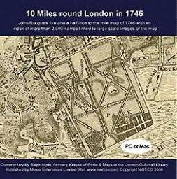
10 Miles Round London in 1746 - Map CD
John Rocque's five and a half inch to the mile map of 1746 with an index of more than 2,800 street and place names linked to large scale images of the map. PC and Mac compatible.
Supplied by: S&N Genealogy Supplies Product Ref: SNG-5632
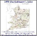
1898 Royal Atlas of England and Wales (edited by J.G. Bartholomew)
A complete series of topographical maps, physical and statistical charts, town plans, and index of 35,000 names (England and Wales - includes City street maps showing locations no longer in existence through development and bombing in World War II).
Supplied by: S&N Genealogy Supplies Product Ref: SNG-10
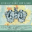
A Map of XVII Century England
This CD contains a large, full colour map of England and a map of London and its environs c.1660. Accompanying these is a chronological list of events that occurred in the early 1600s with sections on science, art and music, literature, history, archaeology and cartography. \*Digitally enhanced images of the original text \*Searchable text \*Bookmarked by major headings \*Fully printable…
Supplied by: S&N Genealogy Supplies Product Ref: SNG-4104

Abbots Ann (Village Booklet 108)
The Village of Abbots Ann and the Church of St Mary the Virgin
Supplied by: Hampshire Genealogical Society Product Ref: HAM-16108
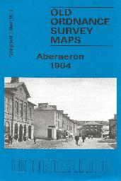
Aberaeron Town Plan (1904)
A detailed plan of Aberaeron at the start of the 20th century
Supplied by: Cardiganshire Family History Society, Cymdeithas Hanes Teuluoedd Ceredigion Product Ref: CGN-W19
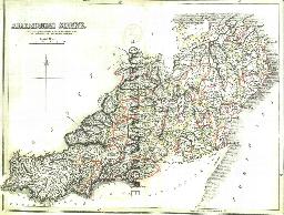
ABERDEEN 1845
A QUALITY A3 SIZE COLOUR REPRODUCTION FROM THE NEW STATISTICAL ACCOUNT OF SCOTLAND 1845. MOST MAPS HAVE THE PARISHES OUTLINED LASER PRINTER ON GOOD QUALITY CARTRIDGE PAPER. SENT FOLDED IN A PLASTIC DISPLAY SLEEVE IN A STIFF CARD ENVELOPE AT THE LARGE LETTER RATE. SCALES VARY [WATERMARKS WILL NOT SHOW ON PURCHASES]
Supplied by: Quality Maps and More Product Ref: QMM-MP301
Aberdeen 1851 A3 Map
detailed coloured street map by John Tallis
Supplied by: The Mclaughlin Guides and Buckinghamshire related books and historic maps Product Ref: BGS-13956495
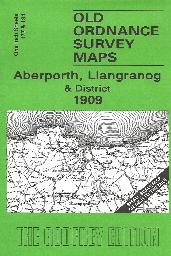
Aberporth, Llangranog and District (1909)
Sheet 177/194, showing the coastal area from Aberaeron to Llangranog (1909 edition)
Supplied by: Cardiganshire Family History Society, Cymdeithas Hanes Teuluoedd Ceredigion Product Ref: CGN-W16
Aberystwth 1834 A3 Map
detailed coloured street map by John Wood [sent in tube]
Supplied by: The Mclaughlin Guides and Buckinghamshire related books and historic maps Product Ref: BGS-M1
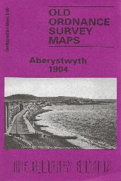
Aberystwyth - Town Plan (1904)
A detailed plan of Aberystwyth town at the start of the 20th century. On the reverse is some history of Aberystwyth with a list of residents and traders.
Supplied by: Cardiganshire Family History Society, Cymdeithas Hanes Teuluoedd Ceredigion Product Ref: CGN-W13
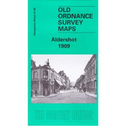
Aldershot 1909
The 1909 edition of the area covers the town and East and West End as well as some of the barracks. The back has an essay by Tony Painter of the history of the original village and the arrival of the army. The Kelly’s directory extract includes some private residents and part of Aldershot Camp.
Supplied by: Hampshire Genealogical Society Product Ref: HAM-13966663
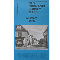
Alresford 1908
Includes a local history by Tony Painter.
Supplied by: Hampshire Genealogical Society Product Ref: HAM-13966803
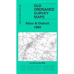
Alton & District 1893
Description to be added in a few days
Supplied by: Hampshire Genealogical Society Product Ref: HAM-13966779
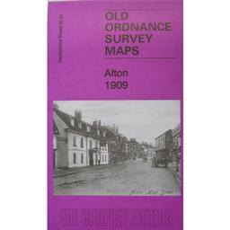
Alton 1909
As well as the map there is a local history written by Alan Godfrey and details of businesses, services and private residents recorded in the Kelly's Directory for Hampshire, 1899.
Supplied by: Hampshire Genealogical Society Product Ref: HAM-13966814
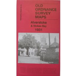
Alverstoke & Stokes Bay 1931
Includes a local history by Tony Painter.
Supplied by: Hampshire Genealogical Society Product Ref: HAM-13966810