Aberystwyth Town Plan (1904)
Description
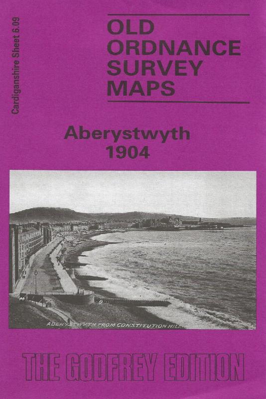
Sheet 6.09 - This detailed map covers most of this university town, and features include the Cambrian station, engine sheds, Vale of Rheidol station, Pont Aberystwyth, University College (in town, not today's buildings), St Michael's church, Royal Pier Pavilion, castle ruins, Marine Terrace, Workhouse, Queen's Hotel, old quarries, Cliff Railway. Constitution Hill is at the top of the map. Extracts from a directory are included, and the notes are bilingual. There is also a short intro to the carto-bibliography by Richard Oliver, trans. Nansi Thirsk
Supplied by: Cardiganshire Family History Society, Cymdeithas Hanes Teuluoedd Ceredigion
Format: Map
Product Ref: CGN-W13