Hampshire Genealogical Society
Alan Godfrey Historial Maps / Alan Godfrey Historial Maps
Category Description: These black and white reproductions of old Ordnance Survey maps are an invaluable resource for family historian
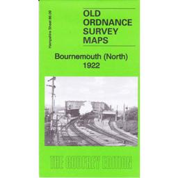
Bournemouth North 1922
Covers the residential areas of Central Bournemouth. The Kelly’s extract 0f 1923 covers private residents.
Supplied by: Hampshire Genealogical Society Product Ref: HAM-13966714
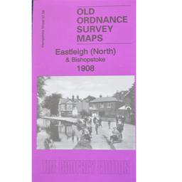
Eastleigh (North) & Bishopstoke 1908
As well as the map there is a local history written by Alan Godfrey and extracts from Kelly's Directory for Hampshire, 1899.
Supplied by: Hampshire Genealogical Society Product Ref: HAM-13966826
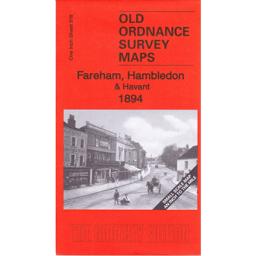
Fareham Hambledon & Havant 1894
This map covers Fareham, Hambledon and the Havant and the area to the north towards Petersfield and Alton. The back has a street map of Hambledon and the history of the area written by Barrie Tinder.
Supplied by: Hampshire Genealogical Society Product Ref: HAM-13966790
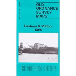
Portsmouth (Eastney and Milton) 1896
The map covers the areas of Milton, Eastney, Buckland and Kingston wards. A history of the area by Peter Rogers is included.
Supplied by: Hampshire Genealogical Society Product Ref: HAM-13966727
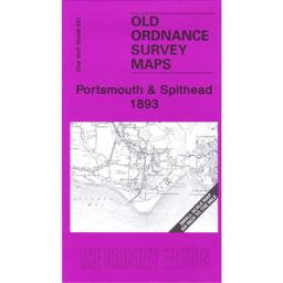
Portsmouth & Spithead 1893
This map covers the famous RN anchorage of Spithead, and the coastal areas of Hayling Island, Portsmouth and Gosport and the Eastern side of the Isle of Wight. The reverse has a street map of Lee-on-Solent And a history of the areas covered by Richard Oliver
Supplied by: Hampshire Genealogical Society Product Ref: HAM-13966791
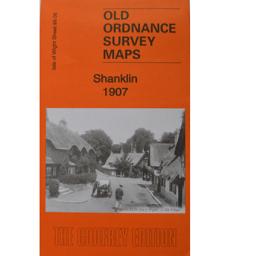
Shanklin 1907
As well as the map there is a local history written by Alan Godfrey and details of businesses, services and private residents recorded in the Kelly's Directory for Hampshire, 1899.
Supplied by: Hampshire Genealogical Society Product Ref: HAM-13966842
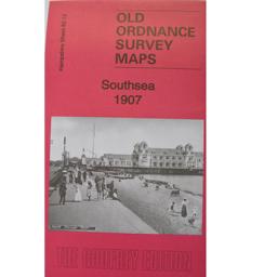
Southsea 1907
Includes a local history by Alan Godfrey.
Supplied by: Hampshire Genealogical Society Product Ref: HAM-13966815
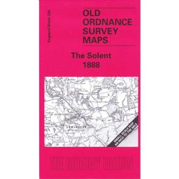
The Solent 1888
The map shows Southampton water, with the Western side of the Isle of Wight, the New Forest and Lymington, Beaulieu and Fawley and Brockenhurst to the north. A street map of Beaulieu is on the reverse with Kelly’s directory 1899 extracts of Beaulieu with some private residents as well as the commercial entries. A history of the area of the map is by Jude James.
Supplied by: Hampshire Genealogical Society Product Ref: HAM-13966798
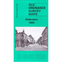
Aldershot 1909
The 1909 edition of the area covers the town and East and West End as well as some of the barracks. The back has an essay by Tony Painter of the history of the original village and the arrival of the army. The Kelly’s directory extract includes some private residents and part of Aldershot Camp.
Supplied by: Hampshire Genealogical Society Product Ref: HAM-13966663
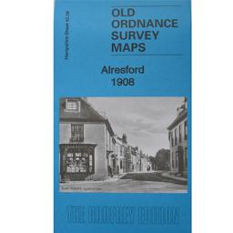
Alresford 1908
Includes a local history by Tony Painter.
Supplied by: Hampshire Genealogical Society Product Ref: HAM-13966803
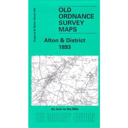
Alton & District 1893
Description to be added in a few days
Supplied by: Hampshire Genealogical Society Product Ref: HAM-13966779
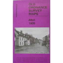
Alton 1909
As well as the map there is a local history written by Alan Godfrey and details of businesses, services and private residents recorded in the Kelly's Directory for Hampshire, 1899.
Supplied by: Hampshire Genealogical Society Product Ref: HAM-13966814
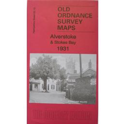
Alverstoke & Stokes Bay 1931
Includes a local history by Tony Painter.
Supplied by: Hampshire Genealogical Society Product Ref: HAM-13966810
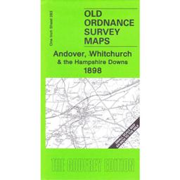
Andover & Whitchurch 1898
This map covers the area from Andover and Whitchurch as well as Buttermere and Highclere. On the reverse is a larger scale map of the Weyhill. The history of the area is by Tony Painter.
Supplied by: Hampshire Genealogical Society Product Ref: HAM-13966782
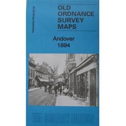
Andover 1894
As well as the map there is a local history written by Alan Godfrey and details of businesses, services and private residents recorded in the Kelly's Directory for Hampshire, 1899.
Supplied by: Hampshire Genealogical Society Product Ref: HAM-13966811
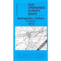
Basingstoke & Odiham 1912
This map covers the area from Andover and Whitchurch as well as Buttermere and Highclere. On the reverse is a larger scale map of the Weyhill. The history of the area is by Tony Painter.
Supplied by: Hampshire Genealogical Society Product Ref: HAM-13966786
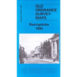
Basingstoke 1894
The map shows Basingstoke and includes the canal, the railway, the workhouse and the areas of South View, Eastrop, the Common and Ruckstalls Hill. The On the back the history of the town is by Alan Godfrey. From the 1899 Kelly’s Directory there are lists of the Corporation, local railway stations, the schools and details of Basingstoke Union as well as some private residents.
Supplied by: Hampshire Genealogical Society Product Ref: HAM-13966703
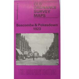
Boscombe & Pokesdown 1923
As well as the map there is a local history written by Alan Godfrey and a list of the private residents recorded in the Kelly's Directory for Hampshire, 1923
Supplied by: Hampshire Genealogical Society Product Ref: HAM-13966807
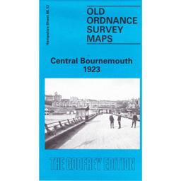
Burnemouth Central 1923
Covers the coastline of Bournemouth and Boscombe. The reverse is a larger scale of part of Southern Hampshire. Wilthshire and the IOW. The historical noted are by Alan Godfrey.
Supplied by: Hampshire Genealogical Society Product Ref: HAM-13966711
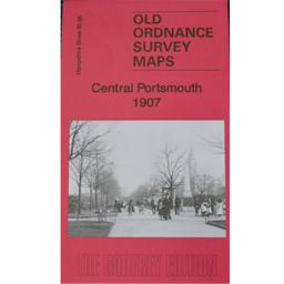
Central Portsmouth 1907
As well as the map there is a local history written by Alan Godfrey and extracts from Kelly's Directory for Hampshire, 1899.
Supplied by: Hampshire Genealogical Society Product Ref: HAM-13966847
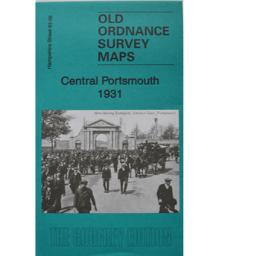
Central Portsmouth 1931
As well as the map there is a local history written by Tony Painter and extracts from Kelly's Directory for Hampshire, 1927.
Supplied by: Hampshire Genealogical Society Product Ref: HAM-13966846
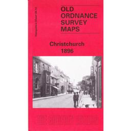
Christchurch 1896
To be updated shortly
Supplied by: Hampshire Genealogical Society Product Ref: HAM-13966707

Cosham & Wymering 1930
As well as the map there is a local history written by Alan Godfrey and extracts from Kelly's Directory for Hampshire, 1927.
Supplied by: Hampshire Genealogical Society Product Ref: HAM-13966834
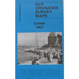
Cowes 1907
As well as the map there is a local history written by Tony Painter and extracts from Kelly's Directory for Hampshire, 1899.
Supplied by: Hampshire Genealogical Society Product Ref: HAM-13966831
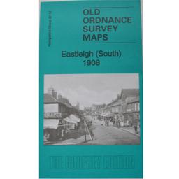
Eastleigh (South) 1908
As well as the map there is a local history written by Alan Godfrey and extracts from Kelly's Directory for Hampshire, 1899.
Supplied by: Hampshire Genealogical Society Product Ref: HAM-13966822