Product Search
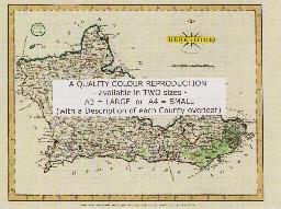
BERKSHIRE 1787
A QUALITY A3 SIZE COLOUR REPRODUCTION FROM JOHN CARY'S 1787 ATLAS WITH DETAILS OF THE COUNTY OVERLEAF. LASER PRINTER ON GOOD QUALITY CARTRIDGE PAPER. SENT FOLDED IN A PLASTIC DISPLAY SLEEVE IN A STIFF CARD ENVELOPE AT THE LARGE LETTER RATE. SCALES VARY
Supplied by: Quality Maps and More Product Ref: QMM-MP102
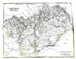
Berkshire 1837 A3 County Map
detailed coloured county map [sent in tube]
Supplied by: The Mclaughlin Guides and Buckinghamshire related books and historic maps Product Ref: BGS-M62
BERWICK 1845
A QUALITY A3 SIZE COLOUR REPRODUCTION FROM THE NEW STATISTICAL ACCOUNT OF SCOTLAND 1845. MOST MAPS HAVE THE PARISHES OUTLINED LASER PRINTER ON GOOD QUALITY CARTRIDGE PAPER. SENT FOLDED IN A PLASTIC DISPLAY SLEEVE IN A STIFF CARD ENVELOPE AT THE LARGE LETTER RATE. SCALES VARY [WATERMARKS WILL NOT SHOW ON PURCHASES]
Supplied by: Quality Maps and More Product Ref: QMM-MP305
Beverley (North) 1908
Dated 1908. Sheet 210.08. 25in to the mile Two maps for Beverley have been published. These link up with each other to provide excellent coverage of the town. This map covers the centre of Beverley, with coverage extending from Highgate and Eastgate northward to Scrubwood Lane. Features include town centre with individual buildings neatly shown, railway with station, Market Cross, Wednesday Market,…
Supplied by: East Yorkshire Family History Society Product Ref: EYK-G004-GM1
Beverley (South) 1908
Dated 1908. Sheet 210.12. 25in to the mile Two maps for Beverley have been published. These link up with each other to provide excellent coverage of the town. This map covers the southern part of Beverley, with coverage from the Minster southward to Shepherd Lane. Features include Beverley Minster, Fleming House, St Andrew's Garth, isolation hospital, tanneries, St Martin's Burial Ground, Queensgate…
Supplied by: East Yorkshire Family History Society Product Ref: EYK-G005-GM1
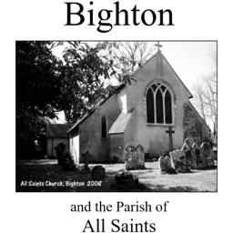
Bighton (Village Booklet 27)
The village of Bighton and the parish of All Saints.
Supplied by: Hampshire Genealogical Society Product Ref: HAM-16027
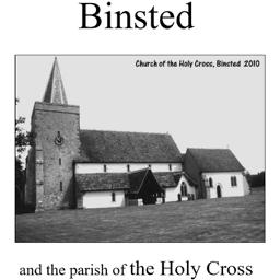
Binsted (Village Booklet 66)
The village of Binsted and the parish of the Holy Cross.
Supplied by: Hampshire Genealogical Society Product Ref: HAM-16066
Birmingham 1866 A3 Map
detailed coloured street map [sent in tube]
Supplied by: The Mclaughlin Guides and Buckinghamshire related books and historic maps Product Ref: BGS-M6
Birmingham c.1897 Map CD
Stepping Stones publication Birmingham c.1897 Map CD
Supplied by: S&N Genealogy Supplies Product Ref: SNG-5082
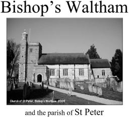
Bishop's Waltham (Village Booklet 61)
The market town of Bishop's Waltham and the parish of St Peter.
Supplied by: Hampshire Genealogical Society Product Ref: HAM-16061
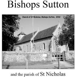
Bishops Sutton (Village Booklet 68)
The village of Bishops Sutton.
Supplied by: Hampshire Genealogical Society Product Ref: HAM-16068
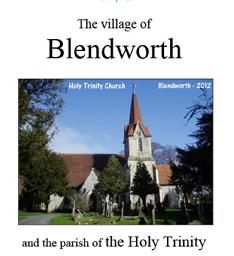
Blendworth (Village Booklet 87)
The village of Blendworth and the parish of Holy Trinity
Supplied by: Hampshire Genealogical Society Product Ref: HAM-16087
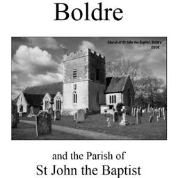
Boldre (Village Booklet 9)
The village of Boldre and the parish of St. John the Baptist.
Supplied by: Hampshire Genealogical Society Product Ref: HAM-16009
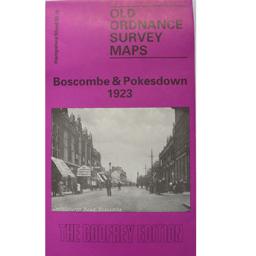
Boscombe & Pokesdown 1923
As well as the map there is a local history written by Alan Godfrey and a list of the private residents recorded in the Kelly's Directory for Hampshire, 1923
Supplied by: Hampshire Genealogical Society Product Ref: HAM-13966807
Boston 1837 A3 Map
detailed coloured street map [sent in tube]
Supplied by: The Mclaughlin Guides and Buckinghamshire related books and historic maps Product Ref: BGS-M7
Bradford 1851 A3 Map
detailed coloured street map [sent in tube]
Supplied by: The Mclaughlin Guides and Buckinghamshire related books and historic maps Product Ref: BGS-M8
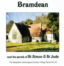
Bramdean (Village Booklet 92)
The village of Bramdean and the parish of St Simon & St Jude
Supplied by: Hampshire Genealogical Society Product Ref: HAM-16092
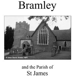
Bramley (Village Booklet 5)
The village of Bramley and the parish of St. James.
Supplied by: Hampshire Genealogical Society Product Ref: HAM-16005
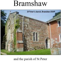
Bramshaw (Village Booklet 77)
The village of Bramshaw and the parish of St Peter
Supplied by: Hampshire Genealogical Society Product Ref: HAM-16077
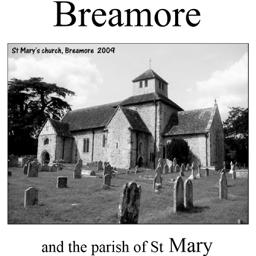
Breamore (Village Booklet 33)
The village of Breamore and the parish of St. Mary.
Supplied by: Hampshire Genealogical Society Product Ref: HAM-16033
BRECKNOCK 1883
A QUALITY A3 SIZE COLOUR REPRODUCTION FROM AN 1883 ATLAS. LASER PRINTER ON GOOD QUALITY CARTRIDGE PAPER. SENT FOLDED IN A PLASTIC DISPLAY SLEEVE IN A STIFF CARD ENVELOPE AT THE LARGE LETTER RATE. SCALES VARY
Supplied by: Quality Maps and More Product Ref: QMM-MP411
Bridlington (North) 1909
Dated 1909. Sheet 146.02. 25in to the mile Two maps for Bridlington have been published. These link up with each other to provide excellent coverage of the town. This map covers the Old Town and the North Shore area, and is double-sided for maximum coverage. Features include Priory Church, MarketPlace, Bridlington Workhouse, Stepney Hall, Old Town shown in detail with individual buildings neatly shown,…
Supplied by: East Yorkshire Family History Society Product Ref: EYK-G015-GM1
Bridlington (South) 1909
Dated 1909. Sheet 146.06. 25in to the mile Two maps for Bridlington have been published. These link up with each other to provide excellent coverage of the town. This map includes the Harbour, North Pier, South Pier, Grand Pavilion, Floral Pavilion, Bessingby Low Field, Hilderthorpe Village, Hilderthorpe Hall, Emmanuel Church, railway approach with engine shed, New Spa Gardens, Baths, Coastguard Station…
Supplied by: East Yorkshire Family History Society Product Ref: EYK-G016-GM1
Brighton 1851 A3 Map
detailed coloured street map [sent in tube]
Supplied by: The Mclaughlin Guides and Buckinghamshire related books and historic maps Product Ref: BGS-M9
Bristol & Clifton 1851 A3 Map
detailed coloured street map [sent in tube]
Supplied by: The Mclaughlin Guides and Buckinghamshire related books and historic maps Product Ref: BGS-M10