Product Search
GEMS IN A GRANITE SETTING by William Crossing
Anyone who has previously taken an interest in the life and history of Dartmoor will be familiar with the names of Beatrice Chase and Sabine Bearing-Gould. One other must also be added to this illustrious list and that is William Crossing. He is now considered one of the best authorities on Dartmoor and its antiquities, having made it the subject of his life's work and his writings being as popular,…
Supplied by: WestCountryBooks Product Ref: TBS-13955680
LANGPORT AND ITS CHURCH. THE STORY OF THE ANCIENT BOROUGH WITH REFERENCES TO NEIGHBOURING PARISHES by David Melville Ross M.A.
Despite its title this book is not only about the Church but is a fully comprehensive history of this town and the surrounding parishes. Beginning in prehistoric times with chapters covering the Danish Invasion and the Battle of the Parret, Huish manor, Harold attaches Somerset, Great events of 14 th century, The Reformation, Lords of the manor and Independent chapel and other sects to name just a…
Supplied by: WestCountryBooks Product Ref: TBS-13955806
MYTHS, SCENES AND WORTHIES OF SOMERSET By Mrs. E. Boger
In the publication the author somewhat departed from her original intention of making a collection of myths and legends of Somerset. Unwittingly, fiction glided into fact and the story developed into history, and it was found difficult, if not impossible, to define their respective limits. This has meant that we have a book of 650 plus pages containing fascinating information including King Alfred,…
Supplied by: WestCountryBooks Product Ref: TBS-13955835
SOMERSET HISTORICAL ESSAYS by J. Armitage Robinson
The writer of this book makes no claim to be a historian, but he is concerned with the materials which go to the construction of true history. Occasionally he is led to revise the verdicts of historians on the ground of a renewed investigation of some isolated problem, or in the light of fuller information which has but lately become available. Essays include William of MalmesburyThe Saxon Abbots…
Supplied by: WestCountryBooks Product Ref: TBS-13955855
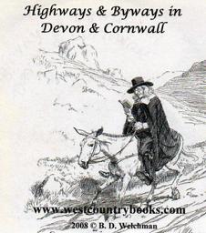
HIGHWAYS AND BYWAYS OF DEVON AND CORNWALL by Arthur H. Norway with illustrations by Joseph Pannell and Hugh Thomson
This book was published in 1897 and is a superb guide to these two counties. It gives an accurate and interesting description of the various towns and villages with contemporary antidotes. History is not forgotten and a large portion of each chapter is devoted to the historical facts, which is written in a such a way as to make it very enjoyable reading. There are almost four hundred pages with numerous…
Supplied by: WestCountryBooks Product Ref: TBS-13955921
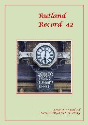
Rutland Record 42
Castle Hill, Uppingham – a prehistory of Rutland; James Pickering and the search for cropmarks in Rutland; William Stukeley and Rutland: antiquities, science and sociability; Walter Gore Marshall of Hambleton and John Thomas Lee, his architect; Reports on Rutland history and archaeology in 2021.
Supplied by: Rutland Local History & Record Society Product Ref: RLH-65
GRO BMD Certificate Ordering Service - for members only Free P&P
Please note: GENfair and EFHA will take no responsibility if the incorrect certificate is ordered nor will they be liable to refund the customer. Please provide your Entwistle Family History Association membership number & and details of the certificate required in the box below:
Supplied by: Entwistle Family History Association Product Ref: ENT-CO1
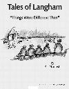
Tales of Langham"Things Were Different Then"
Bill Nourish (now in his nineties) has been writing down his memories of his boyhood and youth in Langham for a number of years and all of them are included in Langham Village History Group’s archive. On several occasions, Bill has told us that he has “run dry” but fortunately, this has not been the case. Thanks are due to Freda Smithson, Bill’s typist, and to Brenda Witcomb for her illustrations
Supplied by: Langham Village History Group Product Ref: LVH-TOL_2
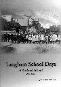
Langham School Days - A Rutland School 1876 - 2000
Excerpts from the school logbooks; Brief history of the school; Early photographs; List of Head Teachers; Memories;
Supplied by: Langham Village History Group Product Ref: LVH-

Ryedale Area Map
An outline map of the area covered by the Ryedale Family History Group
Supplied by: Ryedale Family History Group Product Ref: RFH-MAP-d-001
Langham Remembers Them
Langham Remembers Them tells the stories of the men of Langham and Barleythorpe who lost their lives in the Great War: their photographs, their backgrounds, their regiments, where they fought and the circumstances of their deaths. It is the Village History Group's 2014 tribute to these brave men. Contents include - Author’s Introduction; Background to the Great War; Call to Arms; 5th Battalion Leicestershire…
Supplied by: Langham Village History Group Product Ref: LVH-LRT-001
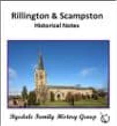
Rillington and Scampston - Historical Notes
A book by W.T. Stratford, first published in 1911 and digitised by the Ryedale Family History Group in 2017
Supplied by: Ryedale Family History Group Product Ref: RFH-misc-cd017

Rillington and Scampston - Historical Notes
A book by W.T. Stratford, first published in 1911 and digitised by the Ryedale Family History Group in 2017
Supplied by: Ryedale Family History Group Product Ref: RFH-misc-d017

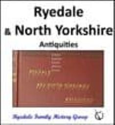
Ryedale and North Yorkshire - Antiquities
A very popular book, by George Frank. Includes a detailed description and history of towns and villages in Ryedale. Originally published in 1872, our copy is the third edition, dated 1888.
Supplied by: Ryedale Family History Group Product Ref: RFH-misc-cd018
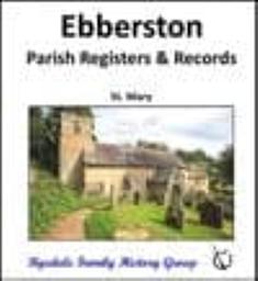
Ebberston - Parish Registers and Records (Baptisms, Marriages & Burials)
A transcript of the Parish Registers of St. Mary, Ebberston Baptisms: 1680 - 1880 Marriages: 1680 - 1880 Burials: 1678 - 1980 History of Ebberston Terriers Notes
Supplied by: Ryedale Family History Group Product Ref: RFH-PR-cd008

Ebberston - Parish Registers and Records (Baptisms, Marriages & Burials)
A transcript of the Parish Registers of St. Mary, Ebberston Baptisms: 1680 - 1880 Marriages: 1680 - 1880 Burials: 1678 - 1980 History of Ebberston Terriers Notes
Supplied by: Ryedale Family History Group Product Ref: RFH-PR-d008

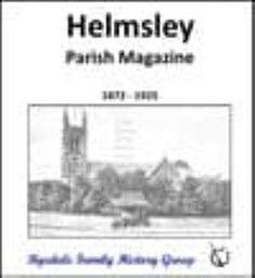
Helmsley - Parish Magazine 1872 - 1925
Old Parish Magazines can provide family history researchers with a unique insight into the lives of their ancestors, sometimes providing information about individuals which cannot easily be found anywhere else.
Supplied by: Ryedale Family History Group Product Ref: RFH-misc-cd008
Helmsley - Parish Magazine 1872 - 1925
Old Parish Magazines can provide family history researchers with a unique insight into the lives of their ancestors, sometimes providing information about individuals which cannot easily be found anywhere else.
Supplied by: Ryedale Family History Group Product Ref: RFH-misc-d008

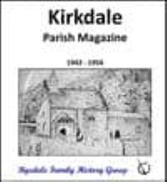
Kirkdale - Parish Magazine 1942 - 1956
Old Parish Magazines can provide family history researchers with a unique insight into the lives of their ancestors, sometimes providing information about individuals which cannot easily be found anywhere else.
Supplied by: Ryedale Family History Group Product Ref: RFH-misc-cd013
Kirkdale - Parish Magazine 1942 - 1956
Old Parish Magazines can provide family history researchers with a unique insight into the lives of their ancestors, sometimes providing information about individuals which cannot easily be found anywhere else.
Supplied by: Ryedale Family History Group Product Ref: RFH-misc-d013
Ryedale and North Yorkshire - Antiquities
A very popular book, by George Frank. Includes a detailed description and history of towns and villages in Ryedale. Originally published in 1872, our copy is the third edition, dated 1888.
Supplied by: Ryedale Family History Group Product Ref: RFH-misc-d018
Historic Barnet
A series of short articles on the history of Chipping Barnet and the surrounding area. Includes the Battle of Barnet, Barnet Physic Well, Barnet Workhouse, the coming of the railways to Barnet, Barnet Fair and much more.
Supplied by: Barnet Museum and Local History Society Product Ref: BTM-001
800 Years of Barnet Market
Barnet Market received its Royal Charter in 1199. In this book Jennie Lee Cobban and Doreen Willcocks explore 800 years of the Market's colourful history.
Supplied by: Barnet Museum and Local History Society Product Ref: BTM-003

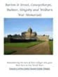
Barton le Street, Coneysthorpe, Bulmer, Slingsby and Welburn War Memorials
Researched by members of the Ryedale Family History Group, this publication explores the life and death of members of the parish who gave their lives in both World War I and II. A list of the names of those researched can be found free of charge on the Group’s website: https://ryedalefamilyhistory.org/media/other/5076/RyedaleWarCasualties.pdf
Supplied by: Ryedale Family History Group Product Ref: RFH-WM-d001
Barton le Street, Coneysthorpe, Bulmer, Slingsby and Welburn War Memorials
Researched by members of the Ryedale Family History Group, this publication explores the life and death of members of the parish who gave their lives in both World War I and II. A list of the names of those researched can be found free of charge on the Group’s website: https://ryedalefamilyhistory.org/media/other/5076/RyedaleWarCasualties.pdf
Supplied by: Ryedale Family History Group Product Ref: RFH-WM-bk001