Product Search
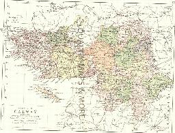
GALWAY 1882
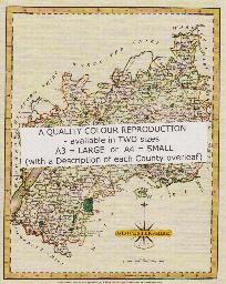
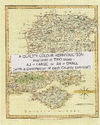
A QUALITY A3 SIZE COLOUR REPRODUCTION FROM PHILIP'S 1882 ATLAS. LASER PRINTER ON GOOD QUALITY CARTRIDGE PAPER. SENT FOLDED IN A PLASTIC DISPLAY SLEEVE IN A STIFF CARD ENVELOPE AT THE LARGE LETTER RATE. SCALES VARY [WATERMARKS WILL NOT SHOW ON PURCHASES]
Supplied by: Quality Maps and More Product Ref: QMM-MP211
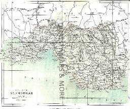
GLAMORGAN 1883
A QUALITY A3 SIZE COLOUR REPRODUCTION FROM AN 1883 ATLAS. LASER PRINTER ON GOOD QUALITY CARTRIDGE PAPER. SENT FOLDED IN A PLASTIC DISPLAY SLEEVE IN A STIFF CARD ENVELOPE AT THE LARGE LETTER RATE. SCALES VARY
Supplied by: Quality Maps and More Product Ref: QMM-MP417
Glasgow 1851 A3 Map
detailed coloured street map [sent in tube]
Supplied by: The Mclaughlin Guides and Buckinghamshire related books and historic maps Product Ref: BGS-M30
Gloucester 1801 A3 Map
detailed coloured street map [sent in tube]
Supplied by: The Mclaughlin Guides and Buckinghamshire related books and historic maps Product Ref: BGS-M31
GLOUCESTERSHIRE 1787
A QUALITY A3 SIZE COLOUR REPRODUCTION FROM JOHN CARY'S 1787 ATLAS WITH DETAILS OF THE COUNTY OVERLEAF. LASER PRINTER ON GOOD QUALITY CARTRIDGE PAPER. SENT FOLDED IN A PLASTIC DISPLAY SLEEVE IN A STIFF CARD ENVELOPE AT THE LARGE LETTER RATE. SCALES VARY
Supplied by: Quality Maps and More Product Ref: QMM-MP113
Gloucestershire 1837 A3 County Map
detailed coloured county map [sent in tube]
Supplied by: The Mclaughlin Guides and Buckinghamshire related books and historic maps Product Ref: BGS-M73
Gloucestershire, Cheltenham c.1890 Map CD
Stepping Stones publication Cheltenham c.1890 Map CD
Supplied by: S&N Genealogy Supplies Product Ref: SNG-5096
Goathland 1910
Dated 1910. Sheet 045.16. 25in to the mile This detailed map covers village of Goathland, deep in the North York Moors, and well known as the setting for Aidensfield in the television series Heartbeat. The map includes the station - now on the North York Moors Railway - as well as the route of the original railway; other features include the Goathland Hotel (or Aidensfield Arms), Goathland Hydro, Stone…
Supplied by: East Yorkshire Family History Society Product Ref: EYK-G031-GM1
Godfrey Maps - Stretford
Stretford West 1904
Supplied by: Northern Writers Advisory Services Product Ref: NWA-ASH25
Goole 1905
Dated 1905. Sheet 273.16b. 25in to the mile This detailed map covers the town of Goole, which was a small village until the 1820s but where the Aire & Calder Navigation Company then established a new town. Docks were built for the transhipment of goods from the Knottingley & Goole Canal to seagoing vessels. This map covers most of the town and features include station, St John's church, North Street,…
Supplied by: East Yorkshire Family History Society Product Ref: EYK-G010-GM1
Goole, Howden & District 1895
Dated 1895. Sheet 79. 1in to mile This One Inch to the Mile map shows the upper Humberhead levels, where the waters of the Pennines come together, finding their way towards the North Sea. Coverage stretches from Hambleton and Askern eastward to Ousefleet and Gilberdike, from Crowle northward to Wressell. Goole, near the centre of the map, is the only substantial town, though the map also gives town…
Supplied by: East Yorkshire Family History Society Product Ref: EYK-G009-GM1
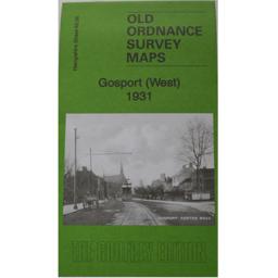
Gosport (West) 1931
As well as the map there is a local history written by Tony Painter and extracts from Kelly's Directory for Hampshire, 1927.
Supplied by: Hampshire Genealogical Society Product Ref: HAM-13966827
Grantham (1824) O.S Sheet number 130
This map also covers: Barrowby, Bourne, Colsterworth, Sleaford, and surrounding localities. Scale 1 : 50,000. Publisher Cassini Maps.
Supplied by: Lincolnshire Family History Society Product Ref: LIN-002M
Great Driffield 1909
Dated 1909. Sheet 161.12. 25in to the mile This detailed map covers Great Driffield, where the Market Place, created in 1799, was the commercial hub of the town. The map covers most of the town, and features include the railway and station, Workhouse, cottage hospital, Cattle Market, All Saints church, Highfield, St John's church, Easterfield House, Cross Hill, Middle Street and Market Place. On the…
Supplied by: East Yorkshire Family History Society Product Ref: EYK-G011-GM1
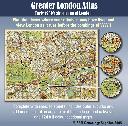
Greater London Atlas - Map CD
Early 1930s street map of London on CD-ROM. Find the places where your relatives may have lived and view London as it was before the bombings of WWll. Complete with indexes to streets. Includes outer suburbs and all London postal areas, a map of the underground railways and 124 full colour sectional maps. \* Digitally enhanced images of original text \* Bookmarked index \* Fully printable…
Supplied by: S&N Genealogy Supplies Product Ref: SNG-3698
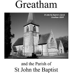
Greatham (Village Booklet 29)
The village of Greatham and the parish of St. John the Baptist.
Supplied by: Hampshire Genealogical Society Product Ref: HAM-16029
Grenoside 1901
Map of village in north west of Sheffield.
Supplied by: Sheffield & District Family History Society Product Ref: SHE-G70108
Grimsby (1824) O.S. Sheet number 113
This map also covers: Caistor, Cleethorpes, Immimgham, Louth, Market Rasen, and surrounding localities. Scale 1 : 50,000. Publisher Cassini Maps
Supplied by: Lincolnshire Family History Society Product Ref: LIN-003M
HADDINGTON 1845
A QUALITY A3 SIZE COLOUR REPRODUCTION FROM THE NEW STATISTICAL ACCOUNT OF SCOTLAND 1845. MOST MAPS HAVE THE PARISHES OUTLINED LASER PRINTER ON GOOD QUALITY CARTRIDGE PAPER. SENT FOLDED IN A PLASTIC DISPLAY SLEEVE IN A STIFF CARD ENVELOPE AT THE LARGE LETTER RATE. SCALES VARY [WATERMARKS WILL NOT SHOW ON PURCHASES]
Supplied by: Quality Maps and More Product Ref: QMM-MP314
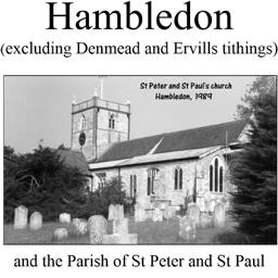
Hambledon (Village Booklet 25)
The village of Hambledon (excluding Denmead and Ervills tithings) and the parish of St. Peter and St. Paul.
Supplied by: Hampshire Genealogical Society Product Ref: HAM-16025
HAMPSHIRE 1787
A QUALITY A3 SIZE COLOUR REPRODUCTION FROM JOHN CARY'S 1787 ATLAS WITH DETAILS OF THE COUNTY OVERLEAF. LASER PRINTER ON GOOD QUALITY CARTRIDGE PAPER. SENT FOLDED IN A PLASTIC DISPLAY SLEEVE IN A STIFF CARD ENVELOPE AT THE LARGE LETTER RATE. SCALES VARY
Supplied by: Quality Maps and More Product Ref: QMM-MP114
Hampshire 1837 A3 County Map
detailed coloured county map [sent in tube]
Supplied by: The Mclaughlin Guides and Buckinghamshire related books and historic maps Product Ref: BGS-M74
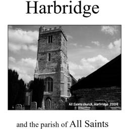
Harbridge (Village Booklet 53)
The village of Harbridge and the parish of All Saints.
Supplied by: Hampshire Genealogical Society Product Ref: HAM-16053
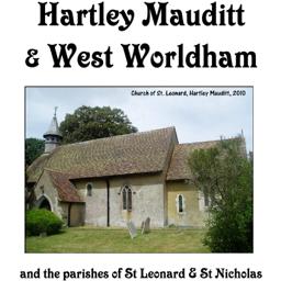
Hartley Mauditt & West Worldham (Village Booklet 80)
The village of Hartley Mauditt & West Worldham and the parishes of St Leonard and St Nicholas
Supplied by: Hampshire Genealogical Society Product Ref: HAM-16080
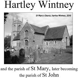
Hartley Wintney (Village Booklet 62)
The village of Hartley Wintney and the parish of St Mary, later becoming the parish of St John.
Supplied by: Hampshire Genealogical Society Product Ref: HAM-16062