Product Search
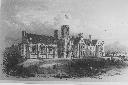
Bishop Gore School Swansea - Admission Registers
The CD and Download contain transcription of the Admission Registers for the school covering the period 1851 - 1894. Also some pictures and a history of the School
Supplied by: Glamorgan Family History Society /, Cymdeithas Hanes Teuluol Morgannwg Product Ref: GLA-S1913CD
Pencoed Penuel Chapel, Memorial Inscriptions
The CD and Download contents which were transcribed up to 2014 are : - History of the Chapel, a Graveyard diagram, Surname index, M.I.s, Photos of the Chapel and a small selection of graves. The Cemetery sits to the North of Pencoed next to the St David's Church in Wales Church.
Supplied by: Glamorgan Family History Society /, Cymdeithas Hanes Teuluol Morgannwg Product Ref: GLA-C1207CD
Cardiff, Whitchurch Ararat Baptist Church
The CD and Download contain a Church History, Members Lists 1914 - 1930, Birth Register 1793 - 1836, Graveyard Plan, Graveyard Register 1828 - 1945 (not all dates), M.I.s inc index and Photos.
Supplied by: Glamorgan Family History Society /, Cymdeithas Hanes Teuluol Morgannwg Product Ref: GLA-C0357CD
Penygraig Soariana
History of the Soar Welsh Baptist Chapel published in 1905
Supplied by: Glamorgan Family History Society /, Cymdeithas Hanes Teuluol Morgannwg Product Ref: GLA-Y0302
1891 Census of Blaenau Gwent - Rock Bedwellty
Full transcription including photographs and some of the history of the area
Supplied by: Gwent Family History Society /, Cymdeithas Hanes Teuluoedd Gwent Product Ref: GNT-GNTB-CD03
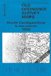
North Cardiganshire & Aberystwyth (1909)
Sheet 163 - Showing the area around Aberystwyth, Aberdovey and the Dovey estuary. On the reverse is a large scale plan of Borth in 1904, and an essay on the history of the area by Alan Leather. This One Inch to the Mile map covers north Cardiganshire, with coverage stretching from Aberystwyth and the coast eastward to Drosgol, Drybedd and the Cambrian Mountains; and from Aberdovey and the remote Dovey…
Supplied by: Cardiganshire Family History Society, Cymdeithas Hanes Teuluoedd Ceredigion Product Ref: CGN-W09
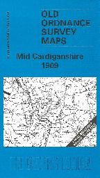
Mid Cardiganshire (1909)
Sheet 178 - Showing the area around Llanrhystud, Llanilar, Strata Florida and Devil's Bridge. On the reverse is a large scale plan of Llanrhystud in 1904, and an essay on the history of the area by Alan Leather. This Inch to the Mile map covers an entirely rural area, from immediately south of Aberystywyth southward to just north of Tregaron. The 'Manchester & Milford Section' railway runs through…
Supplied by: Cardiganshire Family History Society, Cymdeithas Hanes Teuluoedd Ceredigion Product Ref: CGN-W10
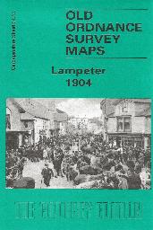
Lampeter Town Plan (1904)
Sheet 34.13 - This detailed map covers the small town of Lampeter, which in 1820 had been chosen as the site of St David's College, today part of the University of Wales. Lampeter was also a significant agricultural centre, and a collecting point for drovers. In 1901, it had a population of 1,722. Our map shows the town centre in some detail, and other features include the railway station, Workhouse,…
Supplied by: Cardiganshire Family History Society, Cymdeithas Hanes Teuluoedd Ceredigion Product Ref: CGN-W14
A Family Historians Great War
To commemorate the centenary of the start of the Great War, DDFHS has published this A4 sized booklet. It looks at subjects that will answer questions raised by people researching their family history during this period. It considers why your ancestors may have joined the army or stayed at home and assesses the impact this had on their families. It also explores attitudes to marriage and cohabitation…
Supplied by: Doncaster and District Family History Society Product Ref: DON-03503
Newport. St Mary's Roman Catholic Church
Includes fully searchable Marriages from 1835 to 1919, Church Converts 1848 to 1908, Confirmations 1841 to 1852 & History of the Church.
Supplied by: Gwent Family History Society /, Cymdeithas Hanes Teuluoedd Gwent Product Ref: GNT-NCD10
Swinefleet St Margaret and Eastoft St Bartholomew
First Published August 2014 Revised June 2019 & February 2022 Information includes: Swinefleet St Margaret Baptisms 1813 to 1915 Burials 1813 to 1948 Marriages 1845 to 1941 Monumental Inscriptions Bains’ Directory 1822 White’s Directory 1838 Hearth Tax 1672 Eastoft St Bartholomew Baptisms 1855 to 1940 Burials 1855 to 1995 Marriages 1856 to 1940 White’s Directory 1838 Reedness History Hearth…
Supplied by: Doncaster and District Family History Society Product Ref: DON-1099
Doncaster St James
First Published September 2016 Revised November 2016 With the arrival of the railway in the middle of the 19th century Doncaster was transformed quite dramatically. St James Church, on St Sepulchre Gate West, was built in 1858 to minister to the spiritual needs of a growing population. This CD gives lots of information about Doncaster the effect of the railway on the town and the development of the…
Supplied by: Doncaster and District Family History Society Product Ref: DON-1121
Bentley with Arksey
First Published April 2022 (replaces Arksey All Saints) Arksey Arksey All Saints church Rectors and Benefactors Baptisms 1558 to 1936 Marriages 1562 to 1940 Burials 1558 to 1899 plus one in 1914 & 1929 Monumental Inscriptions War Memorials Arksey Wesleyan Methodist Baptisms 1922 to 1940 Trade Directories extracts (includes Bentley) Bentley Bentley St Peter Marriages 1898 to 1942 Memorial Inscriptions…
Supplied by: Doncaster and District Family History Society Product Ref: DON-1153
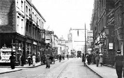
Croydon in the Past
From a book published in 1883 by Jesse Ward, founder/owner of the Croydon Advertiser. Lists upwards of 4,500 names from the monumental inscriptions in Croydon's churches and churchyards (St John, St Peter, St James, Christ Church), Friends Meeting House, Pump Pail Chapel and the Queens Road Cemetery together with St Mary, Beddington, St John, Shirley and St Mary, Addington. The majority of the gravestones…
Supplied by: East Surrey Family History Society Product Ref: ESY-E105
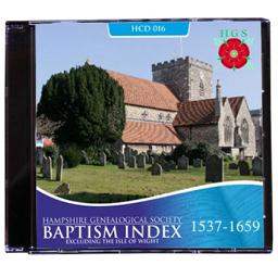
Parish Records - Hampshire Baptism Index 1537-1659. HCD015
A searchable index to Anglican (Church of England) baptisms in mainland Hampshire for the period 1537 to 1659. Excludes the Isle of Wight. Published in 2013, a result of our 40 years of researching and transcribing family history records; a must have addition to help find your early Hampshire ancestors.
Supplied by: Hampshire Genealogical Society Product Ref: HAM-30017
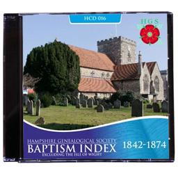
Parish Records - Hampshire Baptism Index 1842-1874. HCD016
A searchable index to Anglican (Church of England) baptisms in mainland Hampshire for the period 1842 to 1874. Excluding the Isle of Wight but including the Royal Marine Artillery Church at Eastney, otherwise known as the Crinoline Church, the registers are held at TNA, Kew. Requires Windows XP or later. There is a PDF index by parish and surname included for Mac users and for earlier versions of Windows.…
Supplied by: Hampshire Genealogical Society Product Ref: HAM-30018
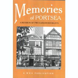
Memories of Portsea
This volume incorporates the former Memories of Portsea and Memories of Queen Street booklets. It covers the area between the town of Old Portsmouth and the Dockyard, centred on Queen Street. There is also a new section on the history of the Gunwharf leading up to the modern Gunwharf Quays development. Published 2007.
Supplied by: Hampshire Genealogical Society Product Ref: HAM-30135
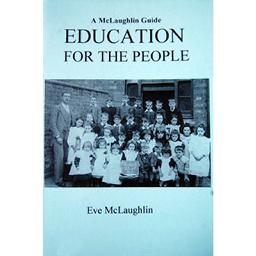
Education for the People
History of Education, charities, ragged schools, monitorial system, National & British Schools, the various acts improving the chances of the poor and the records through the ages. Admission and log books
Supplied by: Hampshire Genealogical Society Product Ref: HAM-34005
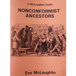
Non Comformist Ancestors
History; civil + ecclesiastical penalties, recusant rolls, chapel registers, minute books etc, Quakers & Methodists, Dr Williams Library, IGI, property records, newspapers, other sources, missionaries, denomination archives, repositories, finding aids.
Supplied by: Hampshire Genealogical Society Product Ref: HAM-34013
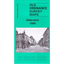
Aldershot 1909
The 1909 edition of the area covers the town and East and West End as well as some of the barracks. The back has an essay by Tony Painter of the history of the original village and the arrival of the army. The Kelly’s directory extract includes some private residents and part of Aldershot Camp.
Supplied by: Hampshire Genealogical Society Product Ref: HAM-13966663
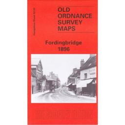
Fordingbridge 1896
This map covers the town of Fordingbridge and the area of farmland with named farms to the north of the down. Abstracts from Kelly’s directory cover commercial traders and private residents. The history of the area is by Alan Godfrey.
Supplied by: Hampshire Genealogical Society Product Ref: HAM-13966722
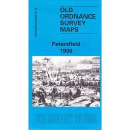
Petersfield 1908
The map of Petersfield covers the town and the Heath Pond to the south and Ram’s Hill to the north. Churcher’s college is also shown as well as farmland with named farms to the east. Alan Godfrey has written a short history of the area on the reverse which also includes extracts from Kelly’s directory. This also has details of Churcher’s College.
Supplied by: Hampshire Genealogical Society Product Ref: HAM-13966723
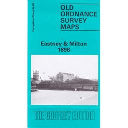
Portsmouth (Eastney and Milton) 1896
The map covers the areas of Milton, Eastney, Buckland and Kingston wards. A history of the area by Peter Rogers is included.
Supplied by: Hampshire Genealogical Society Product Ref: HAM-13966727
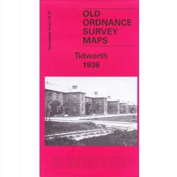
Tidworth 1936
This map includes Tidworth Barracks as well as the town of Tidworth and the surrounding Furze Hiil and Clarendon Hill. Tony Painter has written a brief history of the town.
Supplied by: Hampshire Genealogical Society Product Ref: HAM-13966758
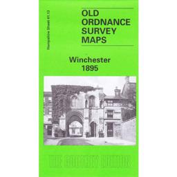
Winchester 1895
This map covers the wards of St Thomas, St John and St Mary. Extracts from the private residents listed in Kelly’s Directory are on the reverse as is history written by Pamela Taylor.
Supplied by: Hampshire Genealogical Society Product Ref: HAM-13966762