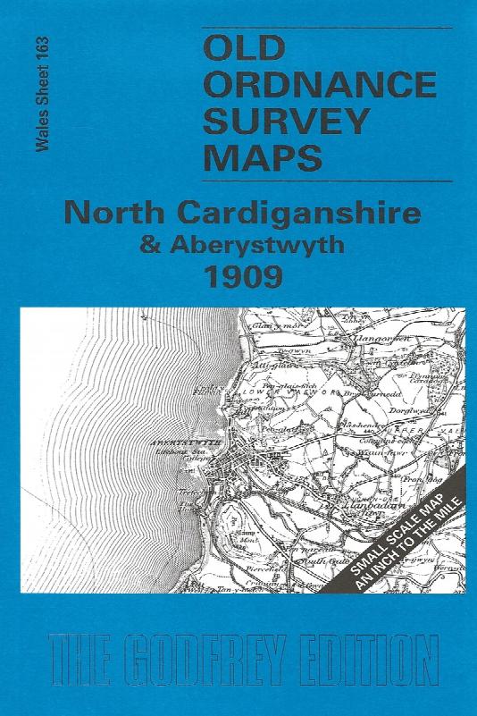
North Cardiganshire & Aberystwyth (1909)
Description
Sheet 163 - Showing the area around Aberystwyth, Aberdovey and the Dovey estuary. On the reverse is a large scale plan of Borth in 1904, and an essay on the history of the area by Alan Leather. This One Inch to the Mile map covers north Cardiganshire, with coverage stretching from Aberystwyth and the coast eastward to Drosgol, Drybedd and the Cambrian Mountains; and from Aberdovey and the remote Dovey Junction station southward to Llanbadarn-Fawr and Aberystwyth. The Cambrian Mountains dominate the eastern half of the map, an area where, as Alan Leather tells us, "a walk must be taken with cautious steps - beware open stopes and grown-over engine shafts!" Several old lead mines are marked on the map. On the reverse, by contrast, is included a large scale, detailed map of the seaside village of Borth.
Supplied by: Cardiganshire Family History Society, Cymdeithas Hanes Teuluoedd Ceredigion
Format: Map
Product Ref: CGN-W09