Mid Cardiganshire (1909)
Description
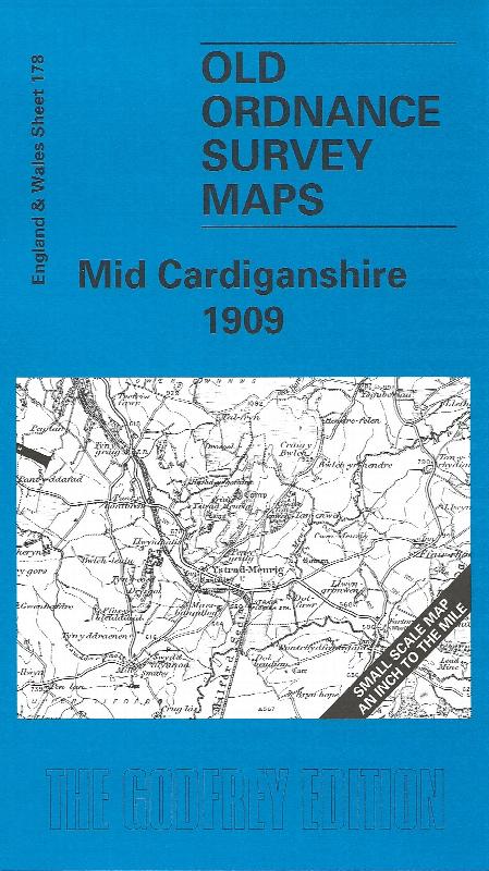
Sheet 178 - Showing the area around Llanrhystud, Llanilar, Strata Florida and Devil's Bridge. On the reverse is a large scale plan of Llanrhystud in 1904, and an essay on the history of the area by Alan Leather. This Inch to the Mile map covers an entirely rural area, from immediately south of Aberystywyth southward to just north of Tregaron. The 'Manchester & Milford Section' railway runs through the map, and part of the Devil's Bridge narrow gauge line is also shown. Other features include the Strata Florida abbey, and various lead mines (though that industry was in decline). On the reverse is included an extract from Cardiganshire Sheet 14.11 showing Llanrhystyd in detail in 1904, complete with directory.
Supplied by: Cardiganshire Family History Society, Cymdeithas Hanes Teuluoedd Ceredigion
Format: Map
Product Ref: CGN-W10