Lampeter, Tregaron & District (1909)
Description
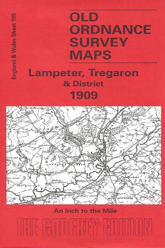
Sheet 195 - This Inch to the Mile map is split between Cardiganshire and Carmarthenshire, with Lampeter near the left centre of the map. The only other town is Tregaron. Coverage stretches from Llanybyther eastward to Pen y Gurnos, and from Tregaron southward to Dolaucothy. The 'Manchester & Milford Section' railway runs through the map, while to the east is a more remote, wilder area, the Cambrian Mountains, described by Alan Leather as "one of the few true places of solitude left to us, with red kites and buzzards sweeping over a bare land of rock, rough grasses, black lakes, bogs and crystal streams". On the reverse is included an extract from Cardiganshire Sheet 27.01, which shows the little town of Tregaron in more detail, together with a list of traders, farmers, etc.
Supplied by: Cardiganshire Family History Society, Cymdeithas Hanes Teuluoedd Ceredigion
Format: Map
Product Ref: CGN-W11