Cardigan & St Dogmaels (1904)
Description
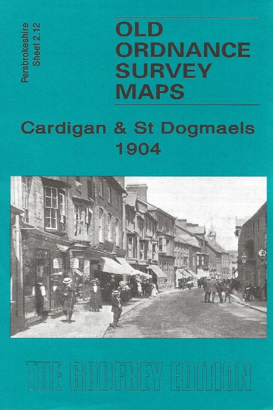
Sheet 2.12 - The town of Cardigan is in the top right corner and features here include the town centre, including High Street, Priory Street, part of Pendre, Cardigan Bridge, castle remains, Custom House, malthouses, Bridgend, Station Road (but actual station is just off the map). The map then extends westward to St Dogmells (or Dogmaels, or Llandudoch) in Pembrokeshire; features here include St Thomas church, woollen factory, High Street, Abbey remains, and coverage extends south to Blaenywaun Baptist Chapel. On the reverse is included the 1906 directory entry for St Dogmells and the list of private residents for Cardigan.
Supplied by: Cardiganshire Family History Society, Cymdeithas Hanes Teuluoedd Ceredigion
Format: Map
Product Ref: CGN-W20