Cardigan & District (1909)
Description
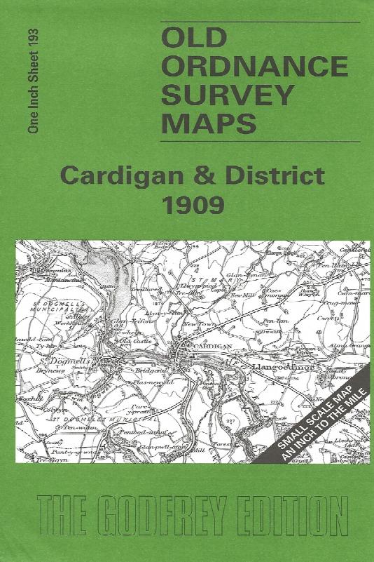
Sheet 193 - This Inch to the Mile map covers the coastal area of Cardiganshire and Pembrokeshire around Cardigan and St Dogmells. Coverage stretches from Pen-y-Bal and Moylgrove eastward to Cilgerran and Llangoedmor. There is, alas, rather a lot of sea on this map, but added interest is given on the reverse where we include an extract from Pembrokeshire Sheet 3.04, covering Llechryd in 1904, complete with a directory.
Supplied by: Cardiganshire Family History Society, Cymdeithas Hanes Teuluoedd Ceredigion
Format: Map
Product Ref: CGN-W17