Product Search
Ecclesiastical Parish Boundaries of Hull
This map shows the Church of England parish boundaries within Hull. This item is A3 in size and delivered folded to A4.
Supplied by: East Yorkshire Family History Society Product Ref: EYK-A006-PCA1
Edinburgh 1833 A3 Map
detailed coloured street map [sent in tube]
Supplied by: The Mclaughlin Guides and Buckinghamshire related books and historic maps Product Ref: BGS-M26
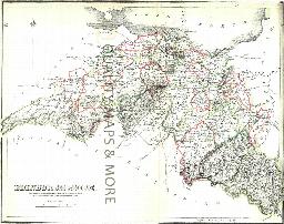
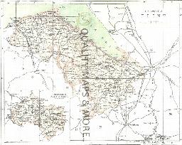
EDINBURGH County
A QUALITY A3 SIZE COLOUR REPRODUCTION FROM THE NEW STATISTICAL ACCOUNT OF SCOTLAND 1845. MOST MAPS HAVE THE PARISHES OUTLINED LASER PRINTER ON GOOD QUALITY CARTRIDGE PAPER. SENT FOLDED IN A PLASTIC DISPLAY SLEEVE IN A STIFF CARD ENVELOPE AT THE LARGE LETTER RATE. SCALES VARY [WATERMARKS WILL NOT SHOW ON PURCHASES]
Supplied by: Quality Maps and More Product Ref: QMM-MP310
ELGIN & NAIRN 1845
A QUALITY A3 SIZE COLOUR REPRODUCTION FROM THE NEW STATISTICAL ACCOUNT OF SCOTLAND 1845. MOST MAPS HAVE THE PARISHES OUTLINED LASER PRINTER ON GOOD QUALITY CARTRIDGE PAPER. SENT FOLDED IN A PLASTIC DISPLAY SLEEVE IN A STIFF CARD ENVELOPE AT THE LARGE LETTER RATE. SCALES VARY [WATERMARKS WILL NOT SHOW ON PURCHASES]
Supplied by: Quality Maps and More Product Ref: QMM-MP311
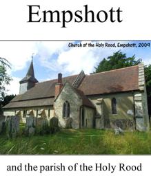
Empshott (Village Booklet 102)
Village of Empshott and the Parish of Holy Rood
Supplied by: Hampshire Genealogical Society Product Ref: HAM-16102
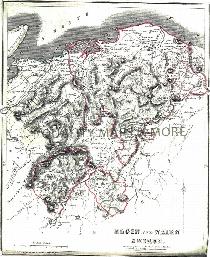
ESSEX 1787
A QUALITY A3 SIZE COLOUR REPRODUCTION FROM JOHN CARY'S 1787 ATLAS WITH DETAILS OF THE COUNTY OVERLEAF. LASER PRINTER ON GOOD QUALITY CARTRIDGE PAPER. SENT FOLDED IN A PLASTIC DISPLAY SLEEVE IN A STIFF CARD ENVELOPE AT THE LARGE LETTER RATE. SCALES VARY
Supplied by: Quality Maps and More Product Ref: QMM-MP112
Essex 1837 A3 County Map
detailed coloured county map [sent in tube]
Supplied by: The Mclaughlin Guides and Buckinghamshire related books and historic maps Product Ref: BGS-M72
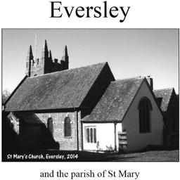
Eversley (Village Booklet 76)
The village of Eversley and the parish of St Mary
Supplied by: Hampshire Genealogical Society Product Ref: HAM-16076
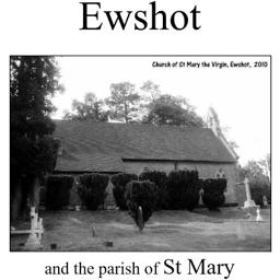
Ewshot (Village Booklet 40)
The village of Ewshot and the parish of St. Mary.
Supplied by: Hampshire Genealogical Society Product Ref: HAM-16040
Exeter 1801 A3 Map
coloured, detailed street map [sent in tube]
Supplied by: The Mclaughlin Guides and Buckinghamshire related books and historic maps Product Ref: BGS-M27
Exeter 1851 A3 Map
detailed coloured street map [sent in tube]
Supplied by: The Mclaughlin Guides and Buckinghamshire related books and historic maps Product Ref: BGS-M28
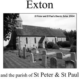
Exton (Village Booklet 56)
The village of Exton and the parish of St. Peter & St. Paul.
Supplied by: Hampshire Genealogical Society Product Ref: HAM-16056
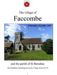
Faccombe (Village Booklet 99)
The Village of Faccombe and the parish of St Barnabas
Supplied by: Hampshire Genealogical Society Product Ref: HAM-16099
Falmouth & Mylor 1833 A3 Map
detailed coloured street map [sent in tube]
Supplied by: The Mclaughlin Guides and Buckinghamshire related books and historic maps Product Ref: BGS-M29
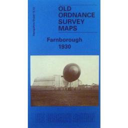
Farnborough 1930
The town of Farnborough is on both sides of this map, with the historical article written by Tony Painter
Supplied by: Hampshire Genealogical Society Product Ref: HAM-13966718
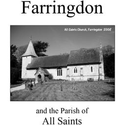
Farringdon (Village Booklet 15)
The village of Farringdon and the parish of All Saints.
Supplied by: Hampshire Genealogical Society Product Ref: HAM-16015
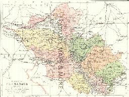
FERMANAGH 1882
A QUALITY A3 SIZE COLOUR REPRODUCTION FROM PHILIP'S 1882 ATLAS. LASER PRINTER ON GOOD QUALITY CARTRIDGE PAPER. SENT FOLDED IN A PLASTIC DISPLAY SLEEVE IN A STIFF CARD ENVELOPE AT THE LARGE LETTER RATE. SCALES VARY [WATERMARKS WILL NOT SHOW ON PURCHASES]
Supplied by: Quality Maps and More Product Ref: QMM-MP210
FIFE & KINROSS 1845
A QUALITY A3 SIZE COLOUR REPRODUCTION FROM THE NEW STATISTICAL ACCOUNT OF SCOTLAND 1845. MOST MAPS HAVE THE PARISHES OUTLINED LASER PRINTER ON GOOD QUALITY CARTRIDGE PAPER. SENT FOLDED IN A PLASTIC DISPLAY SLEEVE IN A STIFF CARD ENVELOPE AT THE LARGE LETTER RATE. SCALES VARY [WATERMARKS WILL NOT SHOW ON PURCHASES]
Supplied by: Quality Maps and More Product Ref: QMM-MP312
Filey 1926
Dated 1926. Sheet 110.04. 25in to the mile This highly detailed map is double-sided for maximum coverage. The main map covers most of the town of Filey, a town which developed as a seaside spa in the 1820s, grew further as a resort when the railway arrived in 1846, and later became a destination for many famous visitors, including Jenny Lind, Delius and Charlotte Bronte. The beach was also used for…
Supplied by: East Yorkshire Family History Society Product Ref: EYK-G006-GM1
FLINT 1883
A QUALITY A3 SIZE COLOUR REPRODUCTION FROM AN 1883 ATLAS. LASER PRINTER ON GOOD QUALITY CARTRIDGE PAPER. SENT FOLDED IN A PLASTIC DISPLAY SLEEVE IN A STIFF CARD ENVELOPE AT THE LARGE LETTER RATE. SCALES VARY
Supplied by: Quality Maps and More Product Ref: QMM-MP416
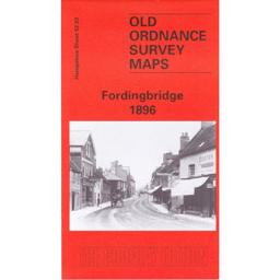
Fordingbridge 1896
This map covers the town of Fordingbridge and the area of farmland with named farms to the north of the down. Abstracts from Kelly’s directory cover commercial traders and private residents. The history of the area is by Alan Godfrey.
Supplied by: Hampshire Genealogical Society Product Ref: HAM-13966722
FORFAR 1845
A QUALITY A3 SIZE COLOUR REPRODUCTION FROM THE NEW STATISTICAL ACCOUNT OF SCOTLAND 1845. MOST MAPS HAVE THE PARISHES OUTLINED LASER PRINTER ON GOOD QUALITY CARTRIDGE PAPER. SENT FOLDED IN A PLASTIC DISPLAY SLEEVE IN A STIFF CARD ENVELOPE AT THE LARGE LETTER RATE. SCALES VARY [WATERMARKS WILL NOT SHOW ON PURCHASES]
Supplied by: Quality Maps and More Product Ref: QMM-MP313
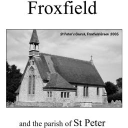
Froxfield (Village Booklet 48)
The village of Froxfield and the parish of St. Peter.
Supplied by: Hampshire Genealogical Society Product Ref: HAM-16048
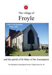
Froyle (Village Booklet 86)
The village of Froyle and the parish of St Mary of the Assumption
Supplied by: Hampshire Genealogical Society Product Ref: HAM-16086
Fulwood and Ranmoor 1903
Map of rural area in south west Sheffield.
Supplied by: Sheffield & District Family History Society Product Ref: SHE-G70107