Product Search
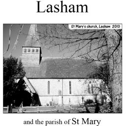
Lasham (Village Booklet 69)
The village of Lasham and the parish of St Mary.
Supplied by: Hampshire Genealogical Society Product Ref: HAM-16069
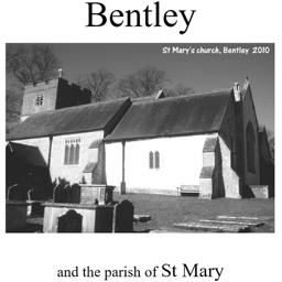
Bentley (Village Booklet 72)
The village of Bentley and the parish of St Mary
Supplied by: Hampshire Genealogical Society Product Ref: HAM-16072
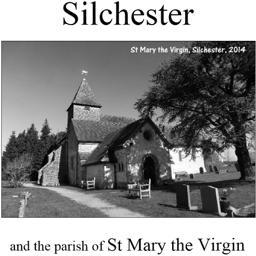
Silchester (Village Booklet 71)
The village of Silchester and the parish of St Mary the Virgin
Supplied by: Hampshire Genealogical Society Product Ref: HAM-16071

Preston Candover (Village Booklet 74)
The village of Preston Candover and the parish of the Church of St Mary the Virgin
Supplied by: Hampshire Genealogical Society Product Ref: HAM-16074
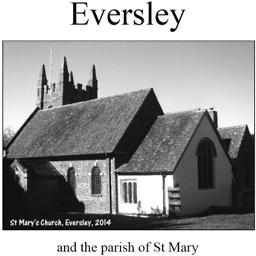
Eversley (Village Booklet 76)
The village of Eversley and the parish of St Mary
Supplied by: Hampshire Genealogical Society Product Ref: HAM-16076
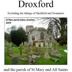
Droxford (Village Booklet 79)
The village of Droxford and the parish of Sy Mary and All Saints. Excluding the tithings of Shedfield and Swanmore.
Supplied by: Hampshire Genealogical Society Product Ref: HAM-16079
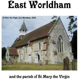
East Worldham (Village Booklet 81)
The village of East Worldham and the parish of the St Mary the Virgin.
Supplied by: Hampshire Genealogical Society Product Ref: HAM-16081
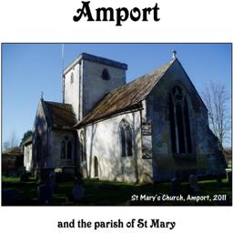
Amport (Village Booklet 82)
The village of Amport and the Parish of St Mary
Supplied by: Hampshire Genealogical Society Product Ref: HAM-16082
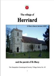
Herriard (Village Booklet 85)
The village of Herriard and the parish of St Mary
Supplied by: Hampshire Genealogical Society Product Ref: HAM-16085
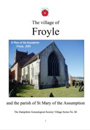
Froyle (Village Booklet 86)
The village of Froyle and the parish of St Mary of the Assumption
Supplied by: Hampshire Genealogical Society Product Ref: HAM-16086
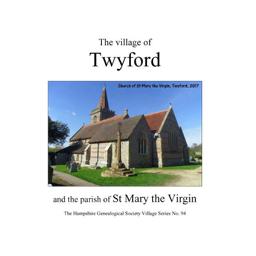
Twyford (Village Booklet 94)
The village of Twyford and the parish of St Mary the Virgin
Supplied by: Hampshire Genealogical Society Product Ref: HAM-16094
Hampshire Monumental InscriptionsHIGHCLERE AREA HMI 02
Ashmansworth - St James Burghclere - All Sts & - Ascension Crux Easton - St Michael & All Angels East Woodhay - St Martin Highclere - Estate Litchfield - St James the Less Newtown - SS Mary & John Woodcott = St James Woolton Hill - St Thomas
Supplied by: Hampshire Genealogical Society Product Ref: HAM-32002
Hampshire Monumental Inscriptions ALRESFORD Area HMI 16
.Alresford St John Alresford St Mary Bighton All Sts Brown Candover St Peter Brown Candover Old Churchyard Chilton Candover St Nicholas Itchen Stoke Churchyard & Old Churchyard Northington Old Churchyard Ovington St Peter Swarraton St Peter
Supplied by: Hampshire Genealogical Society Product Ref: HAM-32016
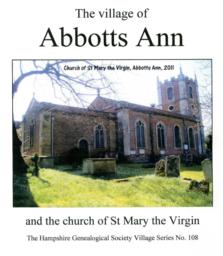
Abbots Ann (Village Booklet 108)
The Village of Abbots Ann and the Church of St Mary the Virgin
Supplied by: Hampshire Genealogical Society Product Ref: HAM-16108
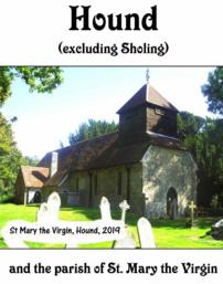
Hound (Village Booklet 105)
The Village of Hound and the parish of St Mary the Virgin
Supplied by: Hampshire Genealogical Society Product Ref: HAM-16105
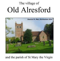
Old Alresford (Village Booklet 100)
The Village of Old Alresford and the Parish of St Mary the Virgin
Supplied by: Hampshire Genealogical Society Product Ref: HAM-16100

Stratfield Saye (Village Booklet 96)
The Village of Stratfield Saye and the Parish of St Mary the Virgin
Supplied by: Hampshire Genealogical Society Product Ref: HAM-16096
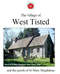
West Tisted (Village Booklet 111)
The Village of West Tisted and the Parish of St Mary Magdalen
Supplied by: Hampshire Genealogical Society Product Ref: HAM-61111
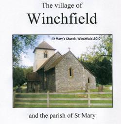
Winchfield (Village Booklet 101)
The Village of Winchfield and the Parish of St Mary
Supplied by: Hampshire Genealogical Society Product Ref: HAM-61101
Hampshire Monumental Inscriptions FORDINGBRIDGE Area HMI 84
St Mary Churchyard Occupiers Quaker RC
Supplied by: Hampshire Genealogical Society Product Ref: HAM-32084
Hampshire Monumental Inscriptions FROYLE Area HMI 80
St Mary Froyle Cemetery
Supplied by: Hampshire Genealogical Society Product Ref: HAM-32080
Hampshire Monumental Inscriptions HAVANT Area HMI 43
Bedhampton St Thomas Emsworth St James Emsworth Baptist Farlington St Andrew Havant Old Cemetery Havant New Cemetery Havant Dissenters Havant St Joseph RC Hayling Island Roman Catholic South Hayling St Mary North Hayling St Peter Purbrook St John the Baptist Rowlands Castle St John the Baptist Warblington St Thomas Warblington Cemetery
Supplied by: Hampshire Genealogical Society Product Ref: HAM-32043
Hampshire Monumental Inscriptions PORTSEA Churches HMI 79
Portsea St Mary Portsea St Anne Portsea St James John Pounds Royal Garrison Portsmouth St Thomas Portsmouth Cathedral
Supplied by: Hampshire Genealogical Society Product Ref: HAM-32079
Hampshire Monumental Inscriptions SOUTH STONEHAM Area HMI 67
Weston Holy Trinity Quakers Bitterne - Church of Holy Saviour Botley - All Saints Hedge End - Cemetery Hedge End St John South Stoneham - St Mary
Supplied by: Hampshire Genealogical Society Product Ref: HAM-32069
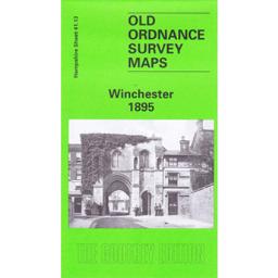
Winchester 1895
This map covers the wards of St Thomas, St John and St Mary. Extracts from the private residents listed in Kelly’s Directory are on the reverse as is history written by Pamela Taylor.
Supplied by: Hampshire Genealogical Society Product Ref: HAM-13966762