Southampton (West) 1908
Description
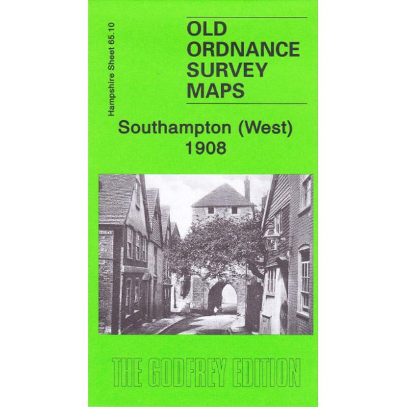
This map covers the All Saints area of Southampton as well as West Bay, Town Ward and St Michael. It also contains some street extracts of the area from the 1899 Kelly’s Directory. Also included is an historical introduction to the area by Alan Godfrey. This map links with sheets 65.11 Southampton East and 65.15 Southampton Docks