Petersfield 1908
Description
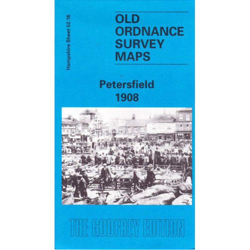
The map of Petersfield covers the town and the Heath Pond to the south and Ram’s Hill to the north. Churcher’s college is also shown as well as farmland with named farms to the east. Alan Godfrey has written a short history of the area on the reverse which also includes extracts from Kelly’s directory. This also has details of Churcher’s College.